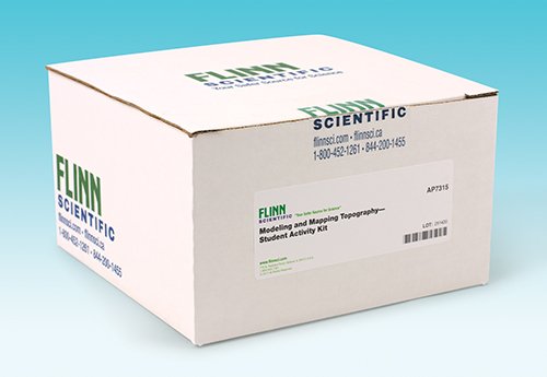
Modeling and Mapping Topography Classroom Activity Kit for Earth science is a three-part activity that will give you a better sense of direction in three dimensions.
Give students a better sense of direction in three dimensions with this exploration of topography-related concepts. In this three-part activity, students will investigate how elevation and landforms are represented on contour-relief maps.
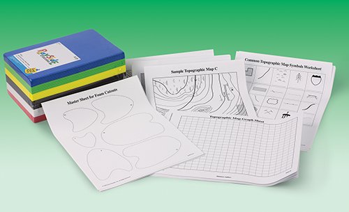
Kit activities include: • Identifying common topographic map symbols • Analyzing a topographic map • Building a 3-D contour model
Complete for 30 students working in pairs.
Correlation to Next Generation Science Standards (NGSS)
Science & Engineering Practices
Developing and using models
Disciplinary Core Ideas
MS-ESS2.B: Plate Tectonics and Large-Scale System Interactions HS-ESS2.B: Plate Tectonics and Large-Scale System Interactions
Crosscutting Concepts
Patterns Scale, proportion, and quantity Systems and system models